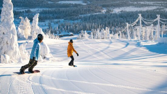
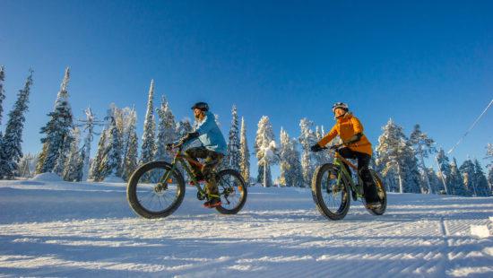
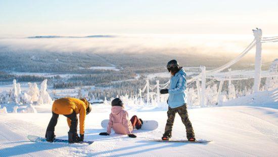
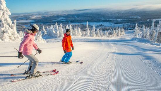
Sightseeing ride – Iso-Syöte Express
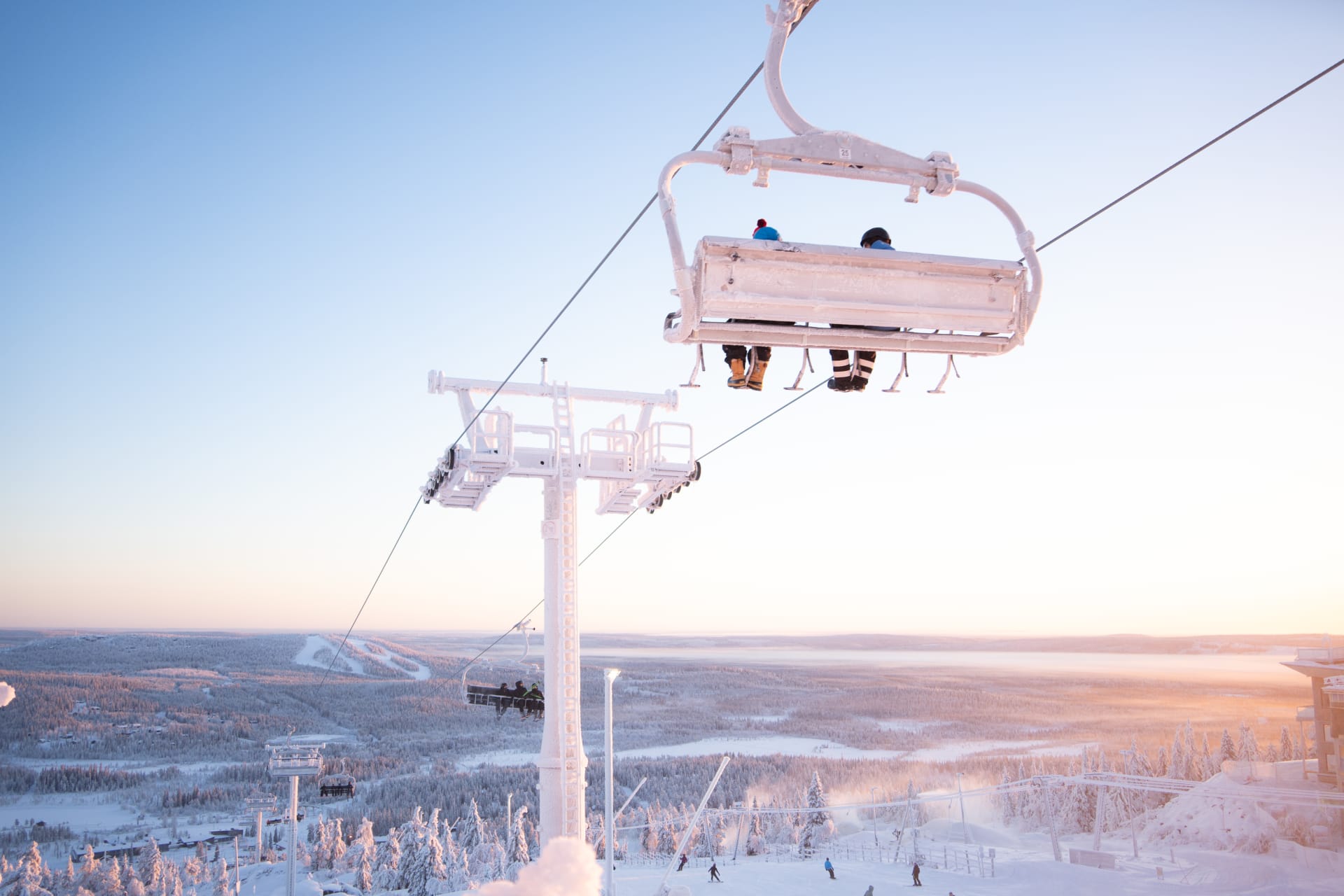
Take in the stunning fell landscapes on a ride to the top of Iso-Syöte with the new Iso-Syöte Express chairlift. In addition to skiers and cyclists, the journey to the summit is a memorable experience for pedestrians as well. You can travel both up and down by chairlift, or choose a one-way ride.
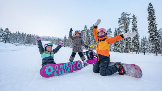
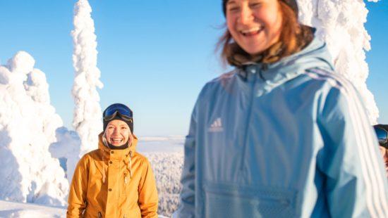
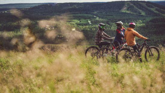
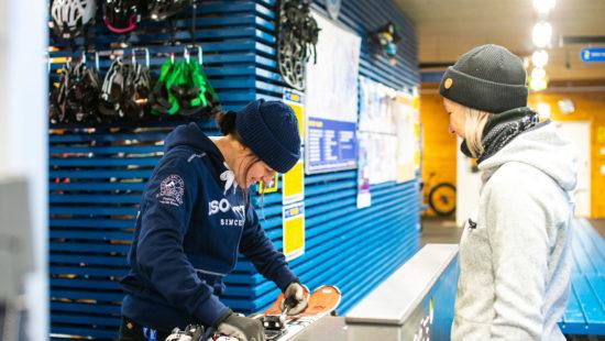
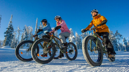
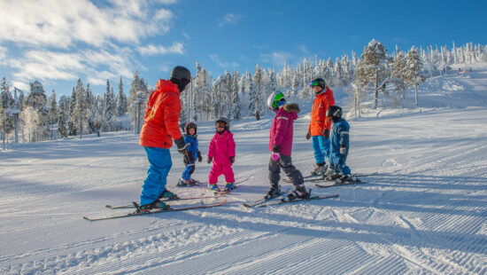
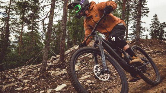
Photos